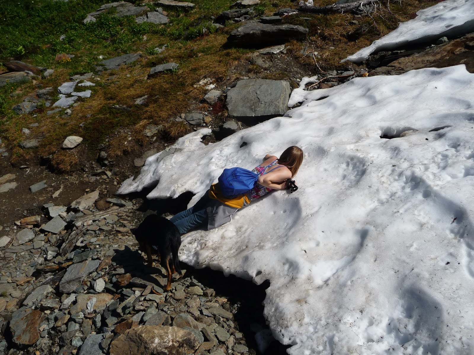
The last post featured a dog. This one may or may not offer a cat.
Oregon was largely a
bust. I had hoped to do some
hiking around Mount Hood but ran into a full-on, early autumn,
northwest rain storm. I drove around the mountain to maybe get some
sun breaks, look at a waterfall even, but it was hopeless. I figured
I could at least poke around Timberline Lodge for a bit but even
there the horizontal torrents turned me back in the parking lot. In compensation, I had lunch in Portland with former Third Place Booksellers Erin and Abraham, on the verge of having their baby daughter. Then I headed to Bend where the forecast was more
promising. I wanted to hike South Sister – I had done it once
before, in a smoky haze - but the rangers informed me that South Sister was expecting a snow storm. So I
gave up and headed to California, where I finally achieved one of my
goals: hiking to the top of Lassen Peak.
I - Lassen Peak –
September 21, 2016 – Lassen Volcanic National Park
Lassen Peak is the
southernmost volcano in the Cascade chain extending from Mount
Garibaldi in British Columbia all the way to northern California.
Lassen is unique in a few ways among these volcanoes. It is the
only one of the major
Cascade volcanoes
that is not a stratovolcano. All
of the others were built up by
many eruptions over thousands of years, each eruption adding
increasing bulk to the central
cone. Lassen is a plug
volcano, which means it is basically one mass of rock that emerged
via
flowing lava in a short period
of time, apparently
in just a few years. Lassen
is also
the
only major
Cascade
volcano without glaciers; it has only a small and diminishing
permanent snowfield. Lassen
is no beauty once
the
winter snow melts;
it
has exactly the looks one would expect from a plug volcano, even
without knowing what a plug volcano is.
Above
all, Lassen
is the only volcano
in
the continental United States to
have
erupted
prior
to the 1980 eruption of Mount St Helens. Its
eruptive period lasted from 1914-1917, with the biggest blast – in
May, 1915 - devastating three
square miles, a devastation that
remains quite
evident
one hundred years later.
 |
| Lassen Peak |
For
my purposes though, Lassen is
unique for its accessibility. It is one of only two Cascade volcanoes
- Oregon's South Sister being the other – that day hikers can
summit via an ice-free trail. Unlike South Sister, which is a bit of
a beast, Lassen Peak is only 5.0 miles round trip with a 2000 foot
elevation gain, modest numbers for strong hikers. The peak's 10,457
foot elevation does add the difficulty of thin air and tougher
breathing for the unacclimated, which at this point certainly
included me.
The hike's biggest
challenge, though, is the cold wind. Lassen is the tallest peak in an
abrupt mountain front and catches all the wind coming east across the
Sacramento Valley. With this in mind, I waited out a couple of cloudy
days to make my ascent on a day with a sunny forecast . Alas, the sun
did not emerge from behind the thick overcast for most of the day,
while the wind was strong and unrelenting - maybe not by
mountaineering standards but certainly by those that day hikers are
used to dealing with. The trail, which was in excellent condition,
weaves its way up around boulders and krummholz that provided
sporadic wind breaks, but without the sun this relief was meager.
Hikers descending from the top, or from as far up the mountain as
they had gotten, were mostly running, and not with glee. There was
not a lot of pleasure being had out there that morning as far as I
could tell.
 |
| Trail to Lassen Peak |

The visuals were
not that inspiring either. In the gray light the volcanic rock was
dim and dull. The sole bright spot lay on the southern horizon, where
blue sky lit up a big beautiful lake. I was ready to write off the
hike as something one might do in order to do it, but otherwise
having little inherent value. Then the sun finally broke through and
that helped a lot. It was still freezing in the wind but I was able
to warm up in the windbreaks in preparation for the next bout of
exposure. Plus the rocks started taking on some color. This proved
valuable near the top of the mountain, where really for the first
time all day I saw some exciting scenery, the remains of the two
craters blown out in Lassen's 1915 and 1917 eruptions. I would very
much have liked to explore them, but it was just too cold. Instead I
headed straight for the summit.
 |
| Lassen Peak Crater |
 |
| Lassen Peak Craters |
 |
| Lassen Peak |
 |
| from Lassen Peak trail (note wind on lake) |
The official trail
ends shy of the summit, so getting to the actual top requires a short
but steep scramble over loose rock and unstable terrain. I had no
real trouble with the footing but for the first time all day I felt
the elevation on my lungs. And have I mentioned it was windy? Still,
I was glad I made the extra effort. For one, the summit itself
consists of a jumble of boulders that I could position myself within
to maximize sun exposure and minimize wind. From this cradle I could
look out over an entire 90 degrees or more of landscape that was not
visible the entire way up, landscape that for me was the most
spectacular of the day. In fact, the summit raised my opinion of the
entire hike. I'm not sure I'd do it again, but I don't entirely
dismiss the idea.
 |
| Lassen Summit |

 |
| from Lassen Peak |
Geology Interlude
Compared
to 1980
Mount St.
Helens, the 1914-17
eruptions at
Lassen were
small beer. They
were not
eruptions of pent up lava but rather
a
succession of steam explosions, caused
by
rain
and snow melt seeping
into the
volcano, encountering
molten rock,
turning to steam, and exploding back out. In
the first year of
activity more
than 180
of
these
explosions
occurred,
sending
ash plumes as high as 10,000 feet above the mountain and tossing
massive
boulders down its
side.
The ash fell back to blanket the surrounding towns, but the boulders
threatened only those curious
enough
to climb up
to take
a look. No
real
damage
was incurred
in
the sparsely populated lower slopes.
This
ended
abruptly one night in
May 1915 when
a steam
explosion blasted out a newly
formed lava
dome,
setting off an
avalanche that
developed
into a
lahar and eventually
a flood. A
lahar is a mudflow that picks up boulders, trees, dump trucks,
whatever along the way,
a
powerful, destructive force that destroyed
everything
in its path for
seven miles,
including
several mostly unoccupied homes.
The
handful of people who
were home
that night
were lucky
indeed. According
to the story, a dog wakened his owner to the danger and
the man
ran
a mile to alert the other residents who then
scrambled
to safety. Sounds
a bit too much like a Lassie adventure to me, but what
do I know
The
largest
explosion came a week later. Rising
lava had
created
another
new dome and once
more a steam
explosion
blew
it out, sending
a
column of ash and gas more than 30,000 feet into the air,
and
setting
off
a
pyroclastic flow: a
high-speed avalanche of gas,
hot
ash, pumice, and
rock
fragments that
devastated
a 3-square-mile area. Once
again a
resulting
lahar
and flood
swept
through and somewhat
extended
the destruction
from the
week before, though
this time no human
lives or
much else for that matter were
in the way.
Lesser
steam
explosions continued
for
another
couple of years but
gradually
subsided,
and
Lassen Peak
itself
- though not the area of what
is now the
national park - has
been quiet ever since.
Volcano
experts refer to the 1914-17 events at Lassen as “relatively
small”, but they caused a lot of excitement at the time. Of course
they were big for the people nearby, demonstrating that secondary
features of even minor volcanic events – mudflows and flooding -
can be more dangerous than the eruptions themselves. Lassen's
eruptions were also big for US vulcanism.
This
was the first time anything like that had happened in the US,
allowing
local geologists to explore and witness it
first
hand. A
local amateur photographer by the name of Benjamin
Loomis produced
one of the first extensive photographic studies of a volcanic
eruption. Plus
no one at
the time knew
what was going to happen next,
so the excitement is understandable.
President
Roosevelt had designated
portions
of Lassen a national monument in 1907
but efforts to elevate it to a national park had run
into solid opposition from
ranchers and the US
Forest Service. The 1915
eruptions
swept
aside these
objections and
Lassen
was
made a national park in 1916. Given
the later assessment that the eruptions
were
a bit overrated, this
promotion
might seem hasty, but
I don't think so. Lassen
is a great volcanic study area, more so I believe than St Helens.
Other
than its
largely inaccessible crater
dome,
St.
Helens mostly
offers a
(terrific)
landscape
of
destruction and recovery. Lassen
has ongoing
volcanic
activity all over the place: steam
vents and hot springs, fumaroles and mud pots,
cinder
cones, dacite domes, the works. Every
known
volcanic feature,
says the NPS, except geysers.
II Brokeoff
Peak – September 24, 1916 – Lassen Volcanic National Park
In fact, Lassen
Peak is only a recent and comparatively minor incarnation in a
landscape that has been volcanically active for 3 million years.
Activity in what is now the national park began about 600,000 years
ago, with the gradual construction of a large stratovolcano that
geologists call Brokeoff Volcano. Brokeoff
Volcano
was about
11,000 feet high, roughly the height of Mount Hood. It
was active
for about
200,000
years before
the eruptive center moved to the northeast
and began sprouting a field of dacitic lava domes,
many
of which remain
features in today's park. Lassen
Peak
itself did
not emerge until
roughly
27,000 years ago. A latecomer, yes, but also one of the largest plug volcanoes in the world.
In
the meantime
Brokeoff Volcano had been gradually
eroding away, as the hot acidic water of its internal plumbing had
turned hard lava into an easily eroded soft clay, which ice age
glaciers made quick work of.
Several
of the current park's more prominent peaks
- Brokeoff Mountain, Mount Diller, Mount Conard, and Diamond Peak –
are remnants of Brokeoff
Volcano,
forming
a rough
semi-circle
that marks
the outer
circumference
of the
eroded stratovolcano.
And
inside
this semi-circle, what
geologists
call the
“central depression”, lies a
landscape that for me is the best part of the entire park. The eroded
remains of the inner-volcano, hundreds of thousands of years on.
Entire mountain walls made of soft white/pink/brown rock. It seems
more spacious and in fact it is, like Yellowstone National Park
though on a smaller scale, it is the center of a volcano that is no
longer there.
Furthermore, this
“central depression” is located in the south western section of the park
where, descending from Lassen Peak toward Kohm-Yah-ma-nee Visitors
Center, the ecosystem stages a dramatic transformation. The park is
said to sit at the ecological crossroads of the Cascades and the
Sierra Nevada, and the transition is startling. Up north, Manzanita
Lake has a very northwest feel, dark forest and very rocky (though
those rocks are largely the result of a collapse of another volcano,
the Chaos Crags). The southern part of the park, is more, well,
Californian: drier, sunnier, golden hills, fields of rabbit brush and
mule's ears, the latter past flowering and looking like miniature
corn stalks. The juxtaposition seems even odder to me since the
southern section sits at a higher elevation. I've yet to find an
explanation for this phenomenon, but I haven't given up either.
 |
| Brokeoff Mountain over "central depression" |
 |
| Brokeoff Mountain |
 |
| Rabbit Brush |
 |
| Brokeoff Mountain |
The park's main
road slices right through this central depression so I could do my
admiring from roadside turnouts. My favorite view is across Little
Hot Springs Valley to a thick long ridgeside, nicely timbered but no
so much to block out that lovely rock color or the rock formations
not yet broken down. I take scores of pictures but it is hard to get
the whole thing in its full glory. These are the best I've gotten so
far.


For a closer look I
set off one Saturday morning toward Brokeoff Mountain, looking very
attractive as it loomed above southern portion of the park. At 9,235
feet, Brokeoff is the second tallest peak in the park behind Lassen
itself, and entails a longer, steeper hike (7.2RT/2600' elevation) In
compensation, I figured, it is surrounded by meadows and forest, not
the harsh rocky slopes (or hopefully the abrasive wind) of the higher
peak. A sign at the trailhead warned of cougar activity in the area
but that is a fairly common thing. My feeling on cougars is somewhat
fatalistic I guess. The signs always say to keep alert for cougars, a
warning I find humorous. Cougars are top-grade stalkers and if you
happen to see one it is mostly because it chose to show itself. If it
decides to hunt you, you will likely become aware of it when it lands
on your shoulders with its incises seeking the back of your neck.
Happily, this is a very rare occurrence for humans.
I don't think I was
more than a quarter-mile from the trailhead when I heard - very close
by, on the other side of some thick foliage right in front of me –
an aggressive growl of the sort I have never heard before other than
on TV. I yelled and leaped backward with a sense that I could at any
second be fighting off a cougar. No cougar, no sound, no anything
came out of the brush and so I did what experts advise, back slowly
away, keep your eyes open. Still nothing, so after a certain amount
of backing away I turned around and returned to the car. No Brokeoff
Mountain for me.
Was it a cougar? I
cannot say with certainty. I didn't see a cougar and am not familiar
enough with them to positively identify their growl. I'll tell you
this: if it was a lesser cat, a bobcat maybe, I sure would never want
to hear a cougar up close. I am pretty sure it wasn't a bear. I'm
more familiar with bears and it didn't sound like a bear. Plus a bear
would not have remained quiet. It would have rumbled off into the
woods making a lot of noise. Was it my imagination, stimulated by the
trailhead warning sign? I doubt that very much. I've seen many such
signs, and while I can be startled by my own shadow I have no history
of imagining things in the wild. I heard that growl very close up and
have to conclude it was a cougar. That's all I can say.
I reported my
experience to the park ranger at the entrance station. She seemed to
take me seriously and told me she would pass the information on. What
might be done? Presumably nothing. Parks don't close trails for
cougars like they do for grizzly bears. There already was a warning
sign. My concern was that the cougar had possession of a kill, which
was why it was defending its ground - I sure as hell didn't catch it
unawares. But if this were the case the cougar would presumably have
moved its kill to more secure terrain immediately after encountering
me, first hiker , hiking alone, early in the morning.
III – Ridge
Lakes – September 24, 2016 – Lassen Volcanic National Park
So somewhat
anticlimactically, I set off on a substitute hike the ranger
recommended, into an area more or less adjacent to one I abandoned,
and yes I did imagine the cougar coming over this way, seeing me
again, and deciding to get rid of me once and for all. This hike was
a short but very steep ascent to Ridge Lakes, set in a beautiful
basin with the the loveliest pinkish-white soil a clear indication of
the eroded inner volcano. The ranger said I could extend the hike as
long as I wished by climbing to the high ridge encompassing the
lakes, a ridge that also connected Brokeoff Mountain to Mount Diller,
thus constituting the outer edge of the eroded Brokeoff Volcano.
There was no more trail but my hiking book offered two scramble
options. I tried the one that headed toward the lowest saddle,
figuring I could proceed further along the ridge from there, on the
way passing through the largest lupine field I'd ever seen. The
lupine was not in flower but it must be quite a sight when it is.
From the saddle I could see Brokeoff Mountain, though not as clearly
as I could see it from the road. I could also see a part of Lassen
Peak, looking rather inauspicious.
 |
| Ridge Lakes |
 |
| Ridge Lakes |
 |
| lupine |

 |
| Lassen Peak on right |
The slope up from
the saddle was too steep and slippery so I retreated to the lakes and
went back up the other route. This was longer and harder but very
rewarding. Here I actually climbed up through that nice mellow rock,
though it lost a lot of luster up close, and of course it really
isn't “soft.” It just looks soft from the distance. I also got to
examine some of the remnant exposures of hard rock, the source of all
that pink soil. Once on top I could see all the way to Mount Shasta,
but I found the immediate terrain more interesting than the view. A
fine hike, one I'd be happy to do again. Next time I would forsake
the lupine field (unless it was flower season) and head straight up
the second way, which appeared to offer an easier ascent to the
ridge's high point. Such is the way that I develop hikes.