The Tioga Pass Road's drop down Lee Vining canyon redefines precipitous. The road itself, the engineers insist, has a maximum grade of 7%, but for the driver the bottom just drops out, a vision made more stark by the height and angle of the mountains rising above. I have often read how the Romantics used the word “sublime” to mean a pleasurable terror, but I had never actually felt that way in nature (I avoid roller coasters) until this day driving down from Yosemite. I was momentarily lost to vertigo. The funny thing is I'd driven down that road many times before. Maybe it's just age.
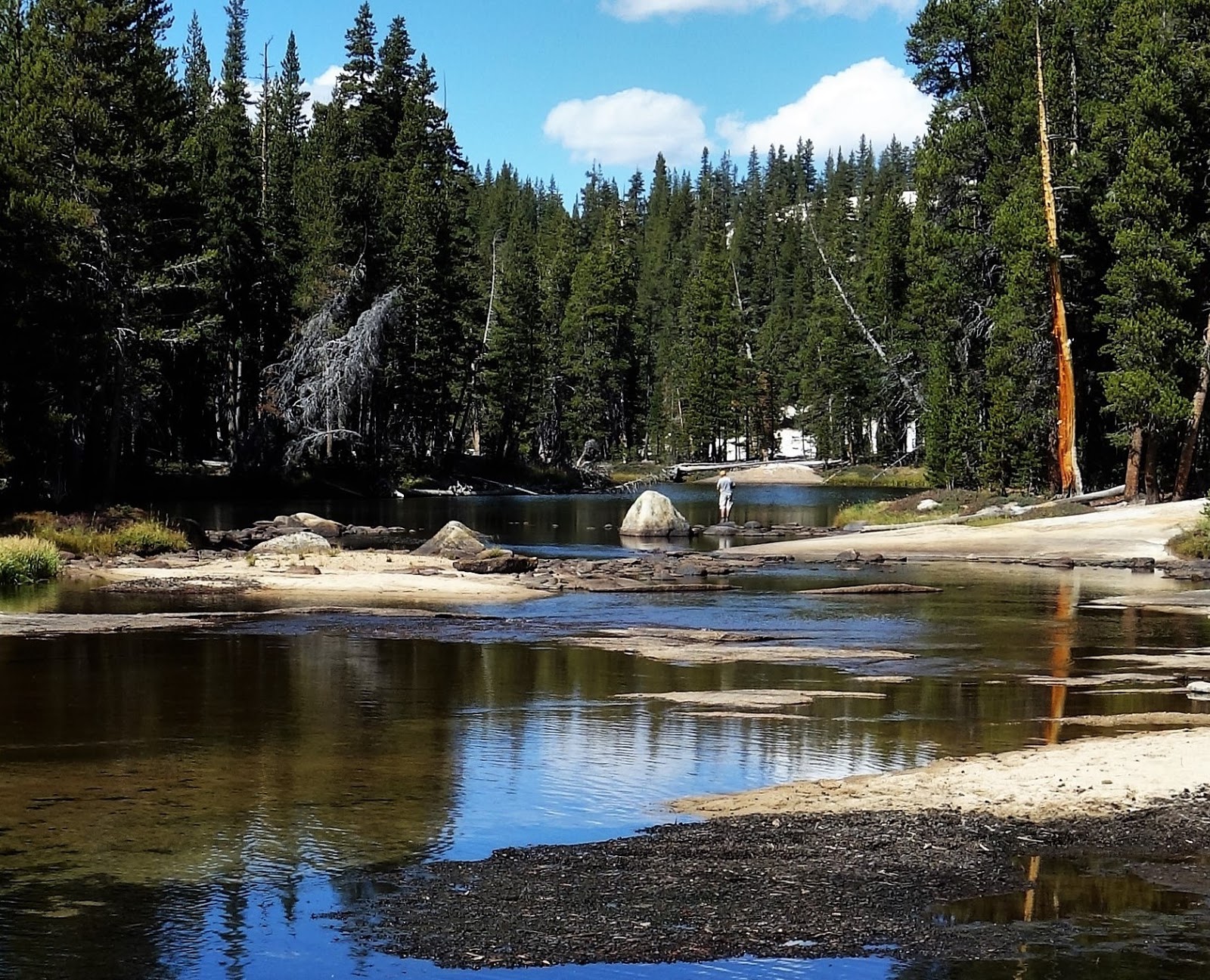
I set up at Aspen Campground Campground, at 7800 feet not much lower than Porcupine Flat but with at least partial protection by the rainshadow. Even in late September, Lee Vining Creek was roaring, thanks to water being released from Saddlebag Dam further upstream. A lively waterfall provided magnificent white noise. The creek is lined with pine trees, giving way to aspen further out in the riparian zone and then finally an ocean of sage. This is very high desert. A storm was coming, with snow possibly dropping to 7500', which is to say on my tent. The aspens, quaking like mad, were quite lovely reflecting in the sun.
My plan was go down to the Mono Lake Visitor Center but I was reading Purple Hibiscus by Chimamanda Ngozi Adichie and found myself more interested in the predicament facing Kambili and her family than I was in my natural surroundings. This was a curious turnaround from my usual pattern, and not unwelcome, so I resolved the dilemma by reading all day. The timing was right; the forecast for the next day was cold and damp, and with no other prospects for daytime warmth, it would be a perfect day for a Visitors Center.
And this is a good one. The Mono Basin National Forest Scenic Area Visitor Center it is called, a streamlined building sitting high on a sagebrush hill above Highway 395, providing great views over the entire Mono Basin. The facility is managed by the US Forest Service in partnership with the National Park Service. People staffing the desk tended to be agency professionals, capable of answering more questions than the typical front-line staffers. I watched the three videos on offer, scrutinized the many displays, studied the interpretive signs, perused a solid book shop, and asked many questions. I was getting my money's worth (free).
A lot has been written about Mono Lake so it's hard to say anything new. Here I've tried to whittle a thumbnail overview to give my pictures some context for those who aren't familiar with the place. I have built upon my post from my 2008 visit to Mono Lake. If I visit another five-ten times I might have a cogent grasp of the place.
II
Mono Lake sits at 6378 feet at the eastern base of the Sierra batholith which rises abruptly as much as 7000 feet higher than the lake. The area gets a lot of sun and the lake is usually a scalding blue. Mono Lake is a terminal lake sitting in a closed basin, which means that water flows in but does not drain out. It either evaporates or sinks into the soil, leaving high concentrations of the salts and minerals that flowed in with the water. Mono Lake is currently about 2.5 times saltier and 80 times more alkaline than seawater.
Mono Lake currently covers some 65 square miles of high desert floor, a mere remnant of its ancient greatness, when it was a Pleistocene Lake - now known as Lake Russell - covering 338 square miles and reaching a depth of about 900 feet. Mono Lake is 159 feet at its deepest point and averages 57 feet in depth. While most of the other Pleistocene Lakes of the Great Basin have either dried up completely or been reduced to enormous seasonal puddles, the monumental snowmelt of the Sierra peaks has sustained Mono Lake year-round for at least the last 760,000 years and maybe the last 1.3 million. It is one of the oldest lakes in the United States. The Great Lakes, by comparison, are 12,000-13,000 years old, while Great Salt Lake has dried up several times over the last million years.
 |
| Mono Lake from Highway 395 (during construction delay) |
 |
| Mono Lake - 7,000 feet below Dana Peak (October 2008) |
Sure I thought, 1941 - The Bad Old Days - depression and world war, the Los Angeles of William Mulholland, Jack Nicholson and China Town. What I found flabbergasting, though, is in 1970, the year of the inaugural Earth Day, Los Angeles doubled its aqueduct capacity and drastically increased its withdrawals from the lake's inflow, leaving the lake and wildlife to who-cares-what. By 1982, Mono Lake held one-half the amount of water it held before Los Angeles began its diversions, this right under the nose of the country’s most prestigious National Park. It’s amazing the things that only recently seemed like perfectly reasonable things to do.
The reason Yosemite National Park or any other government body had nothing to say on this matter was that everyone assumed Los Angeles' legal control of the water flowing down from the Sierras was iron-clad. If it weren’t for the heroics dare-I-say of grass roots environmental action, the lake would have continued to shrink, with devastating effects on the wildlife that uses it and the air quality of the basin. Two citizens groups, The Mono Lake Committee and the National Audubon Society, launched lawsuits and publicity campaigns, and after some sixteen years of court battles and formal hearings, the California Water Board in 1994 ruled that the city of Los Angeles could not drain Mono Lake dry. It could still take plenty of water, but it would have to start leaving enough for Mono Lake to rise 17 feet, to 6,392’, by the year 2014.
This would still be 25 feet below the 1941 lake level, and in fact the goal was not met. The water level peaked at 6384.0 in April 2014 and dropped back down to 6377.1' in December 2016, its lowest level since July of 1995. Lake recovery is not a simple engineering task. Snowmelt and evaporation levels matter, and California is enduring a serious drought*. 6377 feet has been identified as a critical point for the lake's health, and the Water Board Ruling determined that once that lake goes below that level, Los Angeles cannot take water from the creeks. No one knows the impact of global warming, but with this type of vigilance in effect, we should have a Mono Lake for the foreseeable future. I recommend you go see it.
Ecosystem
Even apart from its stunning beauty and location, this is no ordinary lake. Few creatures can survive in water as salty and alkaline as Mono. The lake has no fish. But the few species that do live here "thrive in astronomical numbers".
The food chain begins with the decayed organic matter - detritus - that washes down from the mountains. Green algae, a microscopic one-celled plant, grows on the detritus and the sunlight. Then the two giants of the Mono Lake ecosystem - the brine shrimp and the alkali fly (which sounds like a nursery rhyme to me) - feast on the algae. And that's it for Mono Lake's permanent inhabitants.
But the numbers! Some seven trillion brine shrimp live in Mono Lake at their annual peak. Two generations hatch per summer; all die by winter, but not before laying their eggs for the next year's population. An industrial fishing operation harvests nearly 250 tons of shrimp every year for fish food and doesn't put a dent in the population.
The alkali flies are restricted to the shoreline so there are only millions of them. Several generations hatch each year and some survive the winter. They hover in pervasive clusters on the beach but famously avoid even touching humans. You're ready to find them annoying but they defy you.
This rudimentary year-round population is augmented mightily by winged transients two million strong - more than eighty species of migratory birds - that stop at Mono Lake each spring and summer to fatten up on the munificent shrimp and fly population. This makes Mono Lake one of the most significant shorebird habitats in the western United States. Over 1.5 million eared grebes and nearly 100,000 phalaropes (both Wilson's and red-necked) use the lake. About 50,000 adult California gulls fly to Mono Lake from the coast each spring to nest. (While I have not seen it in person, one of the Visitor Center films shows a gull running down the beach, vacuuming up the flies into its beak.) Mono Lake was also a legendary place for waterfowl before the diversions destroyed the freshwater areas at the creek mouths. A rising lake is witnessing their gradual comeback.
Tufa Towers
The most unique feature of Mono Lake are the tufa towers that emerge from the lake or linger by the shoreline in spectacular shapes of elegant design. Tufa towers are the primary scenic wonder of the lake, certainly as measured by postcards and popular visitor stops. So what are they, anyway? The short answer is limestone, the chemical combination of calcium and carbonate. A better answer is petrified springs. Freshwater springs bubble up from beneath the lake, its calcium merging with the lake's dissolved carbonates to produce lime. If not quickly washed away by wave action this lime will calcify and begin to form a tower. While tufa itself can form anywhere these substances mix, tufa towers are by definition formed underwater. Since the lake has been shrinking for millennia, tufa towers can be found high on the Mono basin, though they must erode relatively easily as there aren't a lot of them up there. But since the beginning of water diversion a great number of towers has been exposed both in and along the lake. More than visual oddities, the tufa towers serve the function of trees in this largely treeless environment. Weasels, owls, mice and squirrels make homes in the towers. To protect exposed tufa and other natural features California designated the Mono Lake Tufa State Natural Reserve in 1982 on the land it owns below 6417' elevation. In 1984, Congress designated the 116,000 acre Mono Basin National Forest Scenic Area.
A boardwalk extending out from Mono County Park enters the Tufa Reserve to viewpoints out over the lake. The walk passes by excellent tufa towers standing surreally in the tall grass. Signs along the way identify where the shoreline had been just decades earlier, before Los Angeles started shrinking the lake. The intervals are impressive; it's a lot of lost lake.
 |
| Tufa Goblins |
 |
| Tufa Tower (August 2008) |
 |
| Tufa and Rabbitbrush |
 |
| Tufa (August 2008) |
More
Wonders: Volcanoes
While Mono Basin is flanked on the west by the Sierra Nevada, it is otherwise almost entirely surrounded by volcanoes, some of very recent origin. The Mono domes are the most prominent, a chain some twenty-seven rholitic and pumice volcanoes extending in an arc for some ten miles to the south of Mono Lake. The chain began erupting some 35,000 years ago but most of the domes are less than 10,000 years old and many are less than 2,000, making it the youngest volcanic chain in North America.Crater Mountain is the highest, at 9,172 feet - 2,400 feet above the valley - and is also among the oldest, sitting with the other oldest in the middle of the range. The youngest volcanoes are 600-700 years old and are situated at either end, suggesting the chain is extending in both directions. The youngest of all the Mono Domes is Panum Crater, which erupted 650 years ago. It is the easiest to access by foot, from a trail off Highway 120 just three miles east off Highway 395 south of Lee Vining. A short hike up through sagebrush takes you to this volcano, an effort I have not yet made.
Two volcanic islands named Negit and Paoha emerge from Mono Lake itself, adding visual complexity to the sea of blue. Negit was formed in several different volcanic explosions from 1,700 to 300 years ago. Paoha Island, a conspicuous white island, is the youngest volcanic feature in the Mono Basin, erupting some 200-300 hears ago. About 2 x 1.5 miles around and rising to 6,670 feet above sea level, it is by far the larger of the two. It is white because most of its surface rock is not volcanic at all, but lake bottom sediments pushed up through the lake by the underlying volcanic intrusion.
These and other smaller islands are very important for bird nesting and the lowering lake levels raised an enormous problem. Negit Island was historically a popular nesting ground for sea gulls, but once the lake was lowered to less than 6375 or so, a land bridge emerged to connect Negit with the lake shore. Coyotes and other land predators quickly seized the opportunity to enjoy free pickings in the rocky nests. While the water level has frequently risen high enough to submerge the land bridge, the gulls continue to stay away from Negit Island, choosing instead some of the smaller islets in the lake. The California Board ruled that Los Angeles cannot divert water if the lake drops to a level approaching the opening of the land bridge, but again, the California Water Board cannot make it snow.
 |
| Mono Domes |
 |
| Paoha Island |
III
After about three hours I had done pretty much everything there was to do at the Visitors Center. I had to go out and brave the not-all-that-bad weather. First I hiked a mile and a half down to the beach at the Old Marina (saving $3 parking fee for my efforts), where a lakeside resort had flourished before the lake's drawdown. It's a fine trail through the sagebrush-rabbitbrush community, with constant views of the lake. The trail's main feature is an old tufa tower called Ice House Tufa that looked to me like a dwelling I imagine my ancestors inhabiting. At the beach I strolled the David Gaines Memorial Boardwalk, named after the environmentalist apparently most responsible for lifting the plight of Mono Lake from obscurity to a cause celebre. This was an overcast afternoon, which had its own merits, but in 2008 I came to the beach for sunrise (boy, those were the days), and I have included a photo from that glorious morning.


 |
| Ice House Tufa |
 |
| Mono Lake From Old Marina |
 |
| Sunrise Mono Lake (August 2008) |
Properly warmed up from the climb back to the Visitor Center, I started down the trail to the Lee Vining Creek delta, in its early stages of recovery after the devastation incurred by the water diversion. Nearly all the riparian vegetation had died in the dried-out creek, and severe flooding scoured the channel on those occasions the mountains produced more meltwater than the Los Angeles Aqueduct could absorb. When healthy, the river delta was a spectacular habitat for waterfowl, which flourished in the fresh water/saline water mixture but abandoned the lake entirely once the creeks were gone. Alas, I didn't make it all the to the delta. I got as far as a good overview of the riparian zone, but the skies were getting grayer and my heart just wasn't in it. I turned around and right away it began to rain.
 |
| Lee Vining Creek Riparian Zone |
So I drove back to South Tufa Beach, where I ended most of my days while camping along Lee Vining Creek. It is managed by the forest service so my senior access pass covered the $3 fee. More importantly, it was the last accessible place around the lake where the late afternoon sun would shine, at least when it was shining at all. I had dinner there several times, strolled the beach elbow to elbow with the photographers, and watched the sunset behind the mountains. It was a strange and beautiful landscape. Here look, I took some pictures.
 | ||||||||
A light dinner at Mono Lake (Mono Domes in Background)
|


* As I write this in January 2017, the Sierra Nevada is receiving a phenomenal amount of snow. The lake had risen by six inches before the latest storm, and the increased snowpack likely augers well for both the lake and the Los Angeles water supply, at least for the short term.
References
Obviously, I did not gather all of this information in one visit to the Visitor Center. The following sources were the ones I drew upon the most. There are many others I haven't gotten to.
Geology of the Sierra Nevada by Mary Hill (University of California, 2006)
Geology Underfoot in Death Valley and Owens Valley by Allen F. Glazner and Robert P. Sharp (Mountain Press 1997)
Storm Over Mono: The Mono Lake Battle and the California Water Future by John Hart (University of California Press 1996
The Mono Lake Website of the Mono Lake Committee http://www.monolake.org/